Wayfinding
Wayfinding focuses on making life easier while navigating unfamiliar territory - be it a city, a trail system or a medical environment. With organizational skills and design acumen, Gene Ullery-Smith designs successful wayfinding systems for businesses, non-profits and municipalities.

Chain of Lakes Water Trail Wayfinding System for Paddle Antrim
Gene developed a comprehensive navigation signage program for the Chain of Lakes Water Trail for Paddle Antrim.
Great Lake-to-Lake Trails Sign Standards
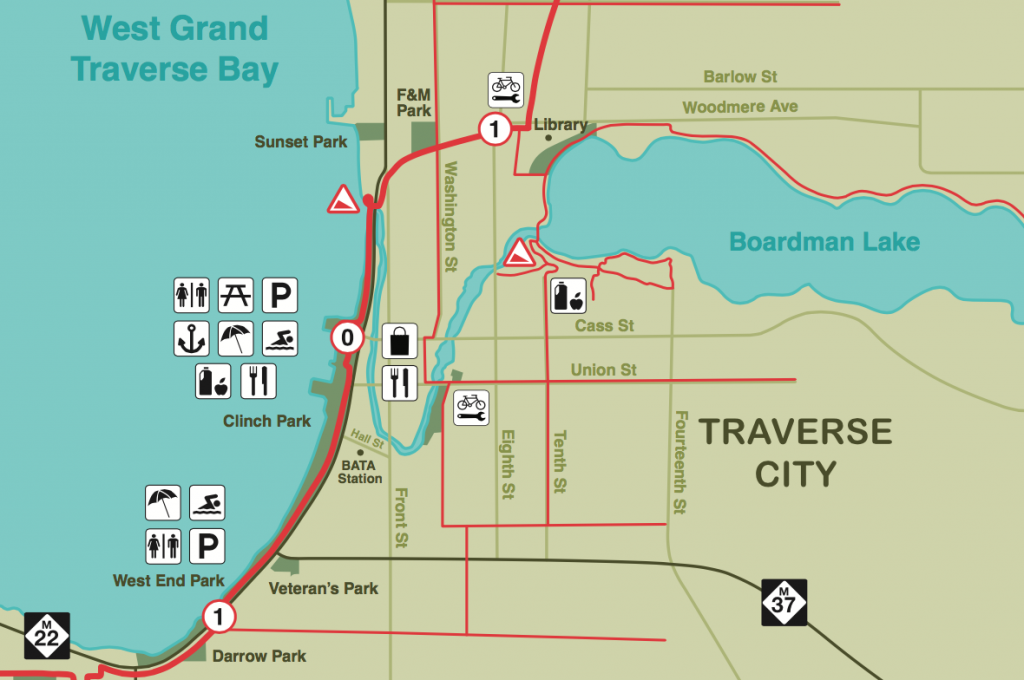
Boardman River Water Trail Wayfinding System
Grass River Natural Area Trail and interpretive Signage
Midland City Forest Trail Wayfinding
City of Midland Recreation Trail Wayfinding Program
Chippewa Banks Disc Golf Course Signage
The Village at Grand Traverse Commons
Map Artwork
TART (Traverse Area Recreation and Transportation) Trail Wayfinding Programming
Exhibits
Interpretive exhibits reward museum visitors with rich experiences and lasting memories. Let’s talk about your next exhibit.

Detroit Historical Museum
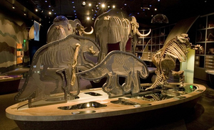
Great exhibits and great graphics combine in the Detroit Historical Museum’s new and redone galleries – all part of a sweeping $12 million overhaul. Museum graphics must look great and educate quickly – a specialty of Gene Ullery-Smith. Read on to see how his work helps set the tone for each exhibit.


